Kartograph – Drawing new geographic data over the infrastructure of old

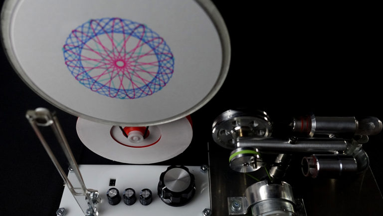
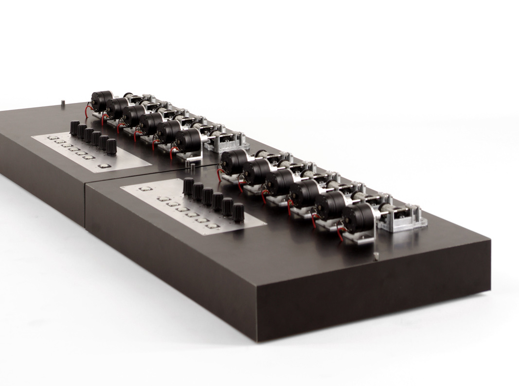
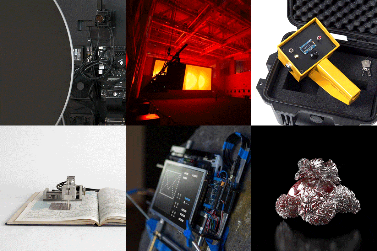
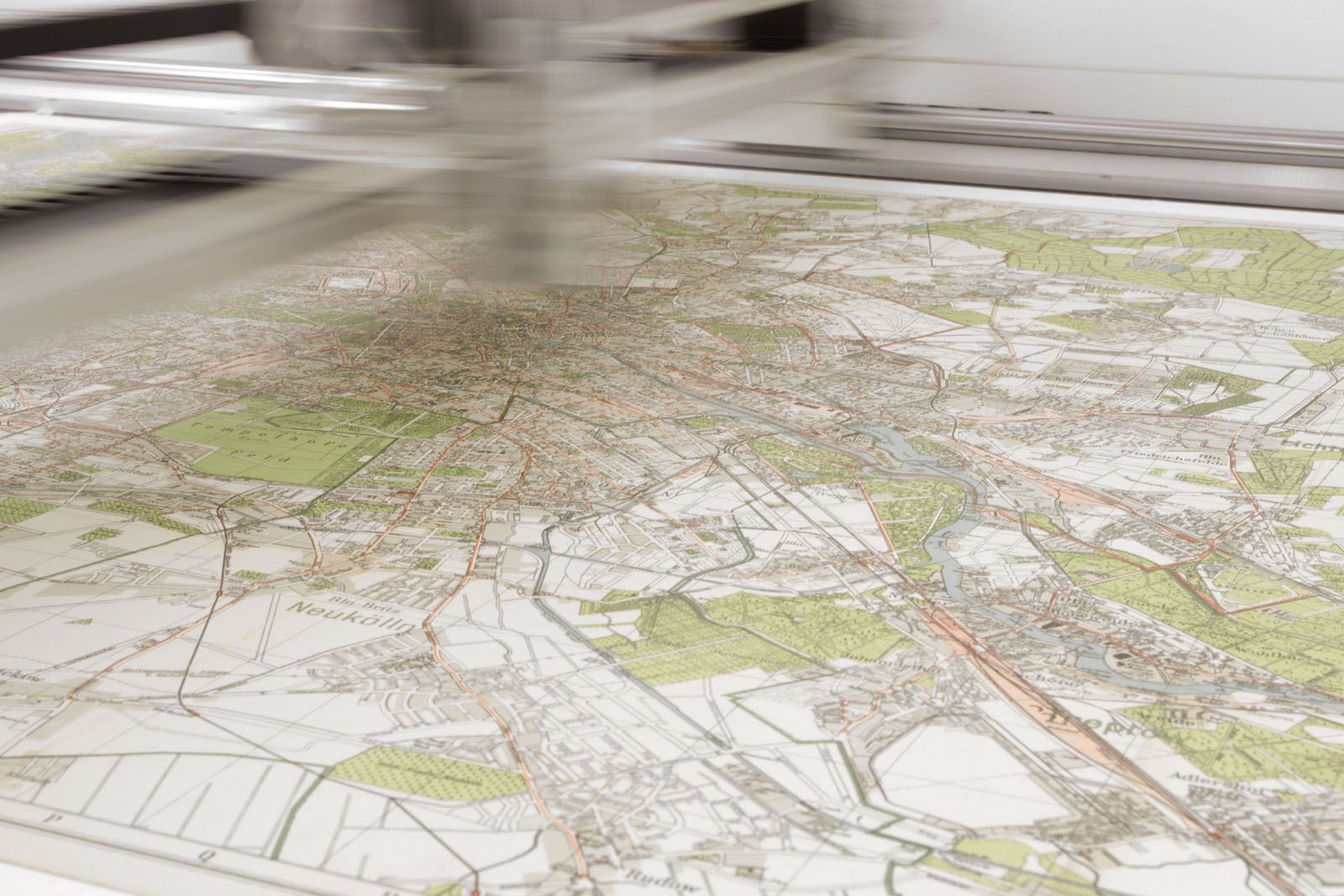
Created by Quadrature (Jan Bernstein, Sebastian Neitsch and Juliane Götz), Kartograph is a sequel to the trio's exploration of devices that map real time data to cultural artefacts. Whereas their previous project Satelliten maps the movement of satellites in orbit on physical maps, Kartograph updates old maps by drawing new geographic data over the infrastructure of old times using the internet.

The selections of which data is mapped  is based on the location of the machine. The starting point are old atlases and maps that conceivably used to be the main source of knowledge for information regarding countries near or far. While their purpose is increasingly overtaken by online services like Google Maps or OpenStreetMap in the last three decades, the classic paper maps are already outdated the moment they get published. Digital map services on the other hand stay valid by simply updating themselves instantly.

Sorry, this is Members Only content. Please Log-in.

Join us today by becoming a Member.

• Archive: Access thousands of projects, scores of essays, interviews and reviews.
• Publish: Post your projects, events, announcements.
• Discuss: Join our Discord for events, open calls and even more projects.
• Education: Tutorials (beginners and advanced) with code examples and downloads.
• Jobs Archive: Find employers who have recruited here in the past (over 1,000 jobs).
• Discounts: Special offers and giveaways (events, books and media).
• Ad-Free Reading: No advertisements or banners of any kind.
• Studios/Organisations: Read more about benefits here.

Read More

/++

/+

/++