16/12/2016: Land Lines – Drawing satellite imagery through gesture
Javascript Members
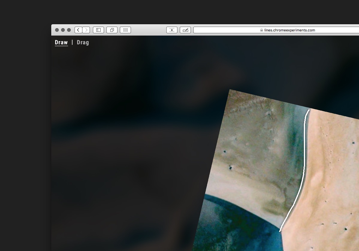
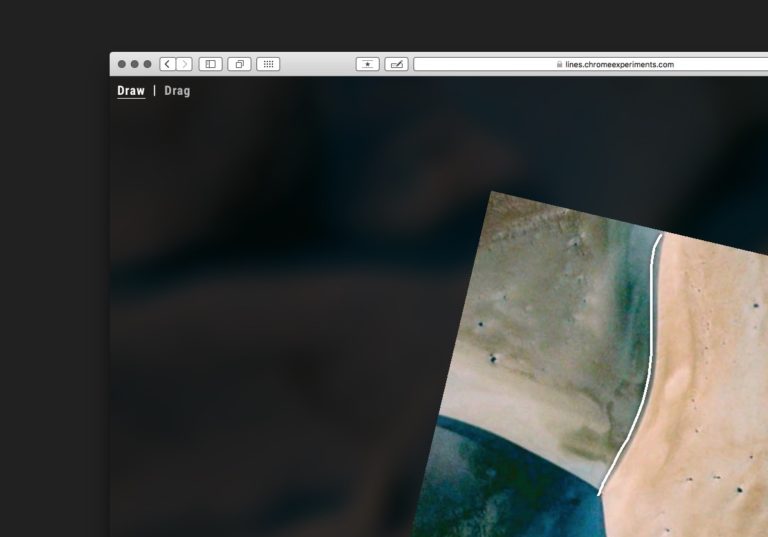
Created by Zach Lieberman in collaboration with Google’s Data Arts team, ‘Land Lines’ is a web experiment that lets you explore Google Earth satellite imagery through gesture. “Draw” to find satellite images that match your every line; “Drag” to create an infinite line of connected rivers, highways and coastlines.