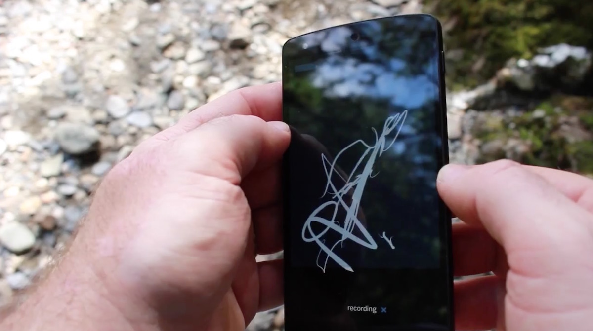
[Re]Calibrating Identity is an MA Architecture thesis (University of Westminster) by Madhi Ur Rehman that questions the map as a way of knowing a city. It builds an instrument that learns from people’s mental maps and navigates by memory instead of by map.
A map reduces a city to fixed boundaries, zones, routes, and labels. But a city is not fixed. It is produced every day through movement, interaction, memory and small transformations: a journey to work, a protest that closes a street, a wedding procession that spills into traffic1. A map can show none of this, because it records a single frozen instant, and the city it depicts has already changed by the time it is printed. If the city is alive, why does the instrument we use to represent it behave as though it were not? Perhaps the question is not what the city is, but how it continually becomes.
Madhi Ur Rehman
Routing algorithms make this reduction visible. In 2020, Simon Weckert pulled ninety-nine smartphones through Berlin in a handcart and created a virtual traffic jam on Google Maps2, rerouting drivers away from a street that was actually empty. The system responded not to the city but to its representation. The thesis begins from the gap between the map and the city it claims to represent. Drawing on Henri Lefebvre’s spatial triad (conceived, perceived, and lived space)3, it proposes reordering the hierarchy so that lived space, where memory, ritual, and cultural meaning reside, sits at the origin rather than the end.
THE WALK
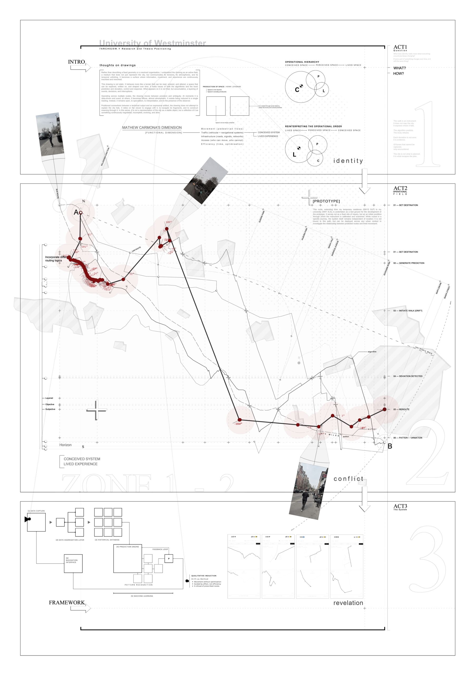
The first experiment tests whether an algorithmically calculated route corresponds to the path a person actually takes and whether any divergence is incidental or reveals a consistent pattern. The walk from home to the university was recorded through two parallel channels, running simultaneously from departure to arrival. A website built on Google Maps served as the predictive instrument, generating the optimal calculated route. Against it, the actual walk was recorded in real time, following the Situationist method of the dérive4: instead of obeying the prescribed route, the body was allowed to drift under psychogeographical forces, letting the city’s pull and push dictate each turn. Every point where the body deviated from Google’s predicted path was marked.
The actual path began to diverge almost immediately, and the gap widened throughout. By the time of arrival, the two channels had produced two distinct drawings of the same journey. The deviations were not random noise. Each marks a place that acted on the body, a pull or a push, so the points of divergence are themselves data about the character of the city. The consistency of the gap suggests a structural difference between predicted and lived movement.
That evening, the author tried to draw the walk from memory. In the author’s words: “Three different versions of one street, and I had made all of them.” The GPS trace, the algorithm’s route and the remembered walk all disagreed. Memory, it turned out, was a third kind of map.
THE DATASET: MENTAL MAPS
The Autonomous Walker began as an attempt to extend the dérive itself: rather than asking another human being to drift through the city, build a system that could learn to drift on its own. Its material is the mental map. Residents of Lahore were asked to draw the city from memory, producing hand-drawn maps of the routes, junctions and landmarks they carry in their heads rather than on any survey. The drawings are incomplete, repetitive and inconsistent in exactly the way memory is. The thesis treats those inconsistencies not as errors to be corrected but as the material from which a city can emerge, an approach rooted in Kevin Lynch’s The Image of the City5.
The maps were used to train a generative model. Rather than reproducing the drawings, the model learned the patterns within them: how a remembered street tends to bend, where a junction is likely to reappear, which landmarks recur across different people’s maps. It then began producing new mental maps of its own, with streets that no single person had drawn but that behave like something a resident might have remembered.
THE AUTONOMOUS WALKER
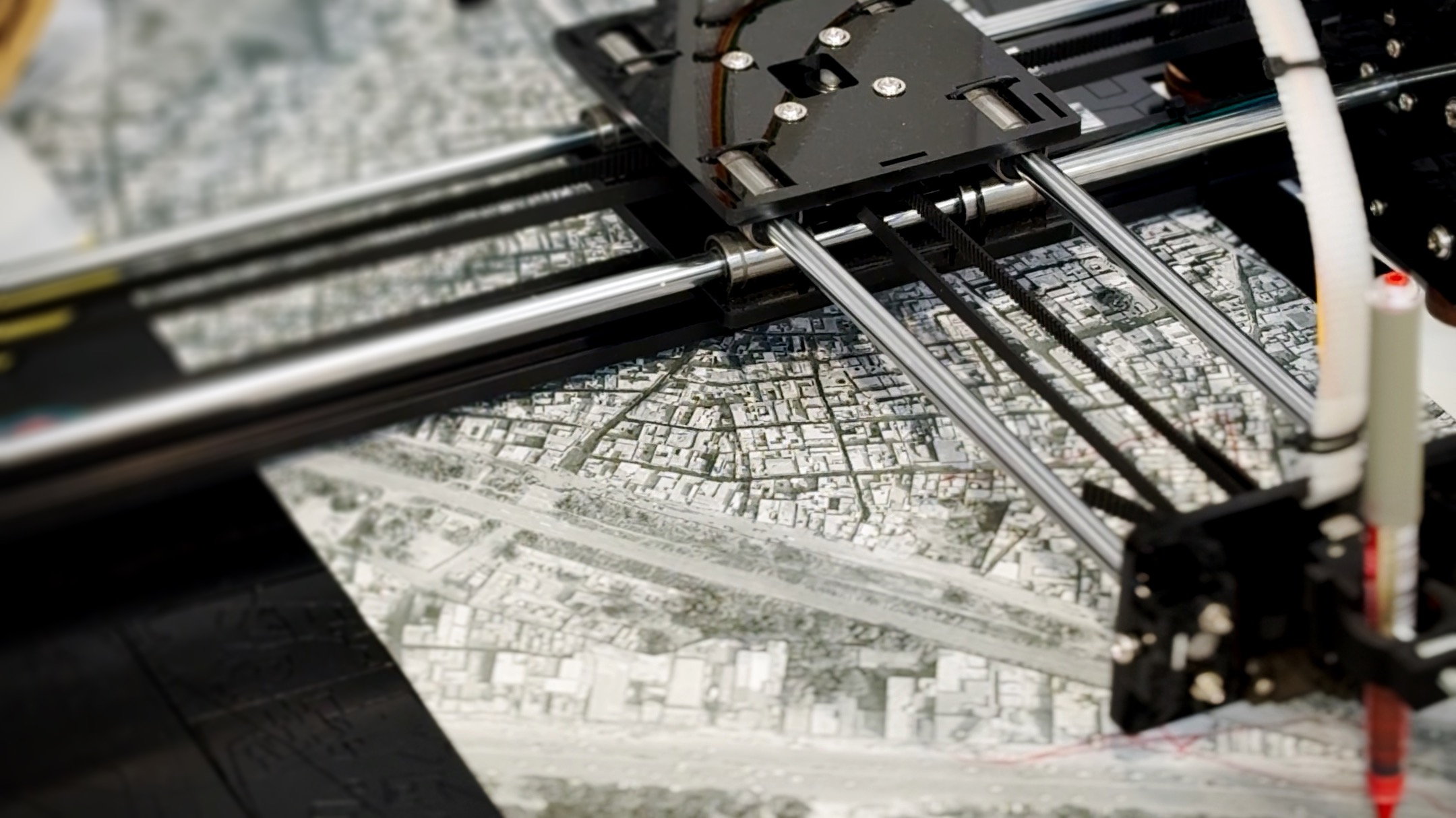
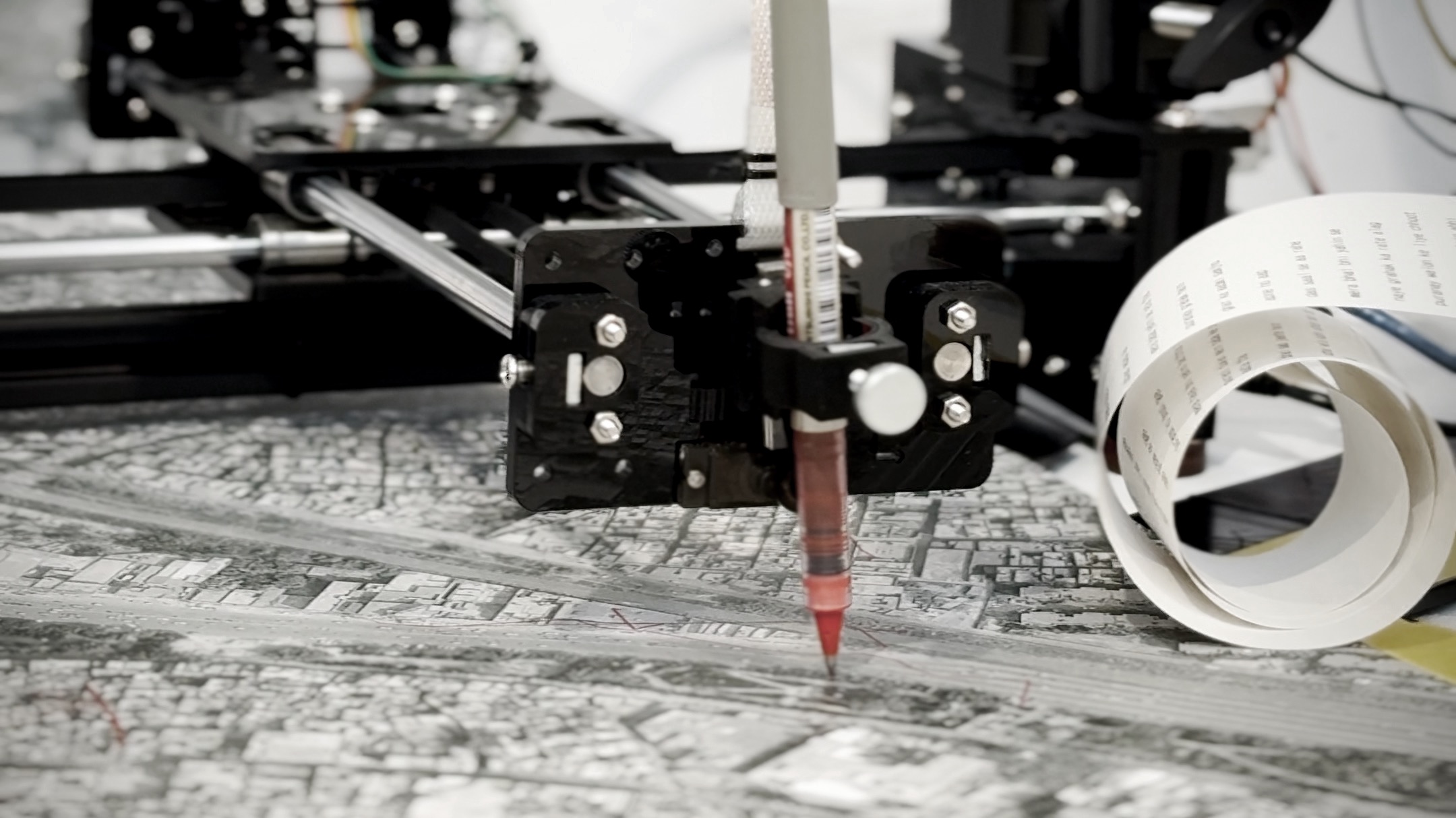
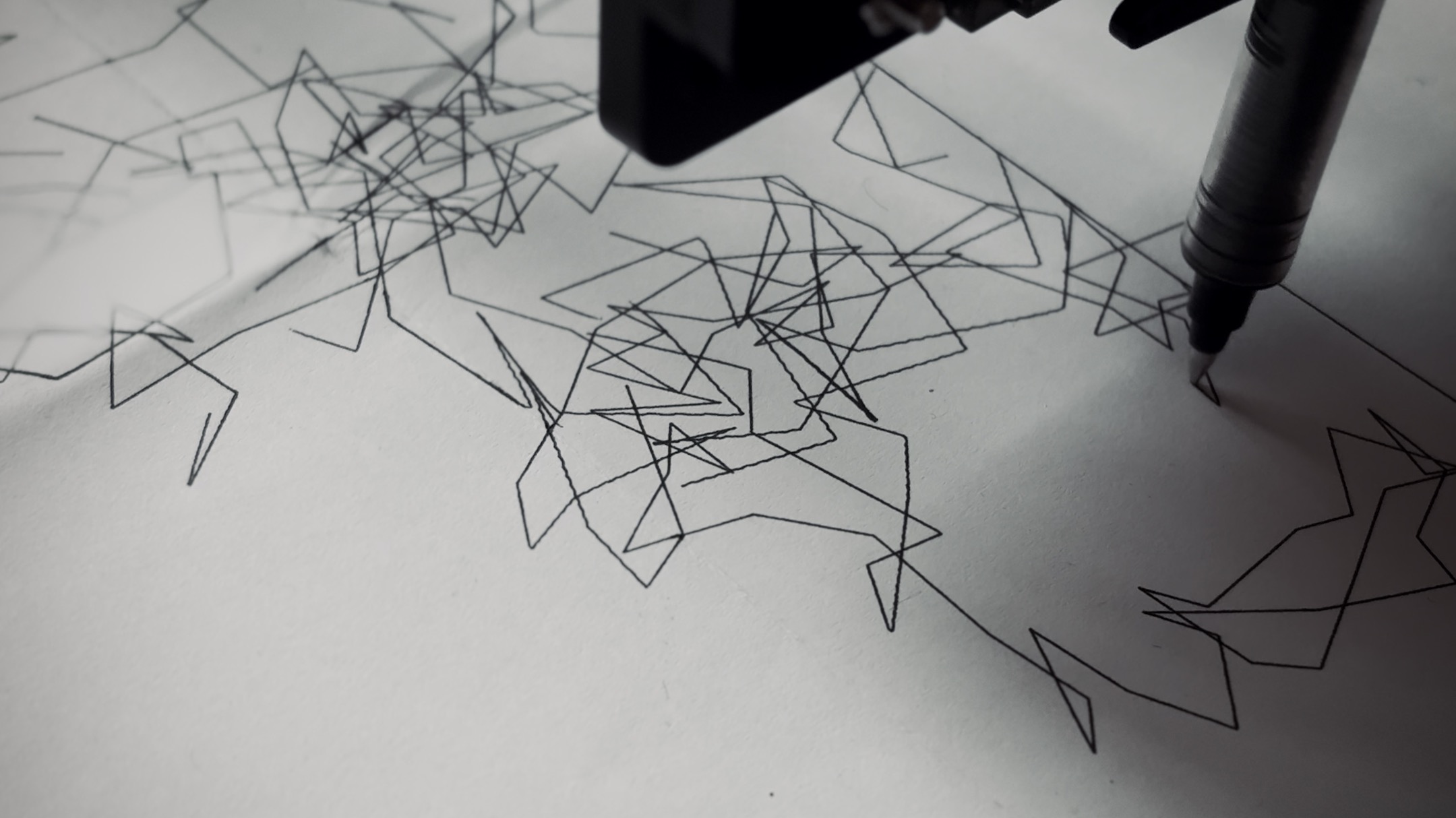
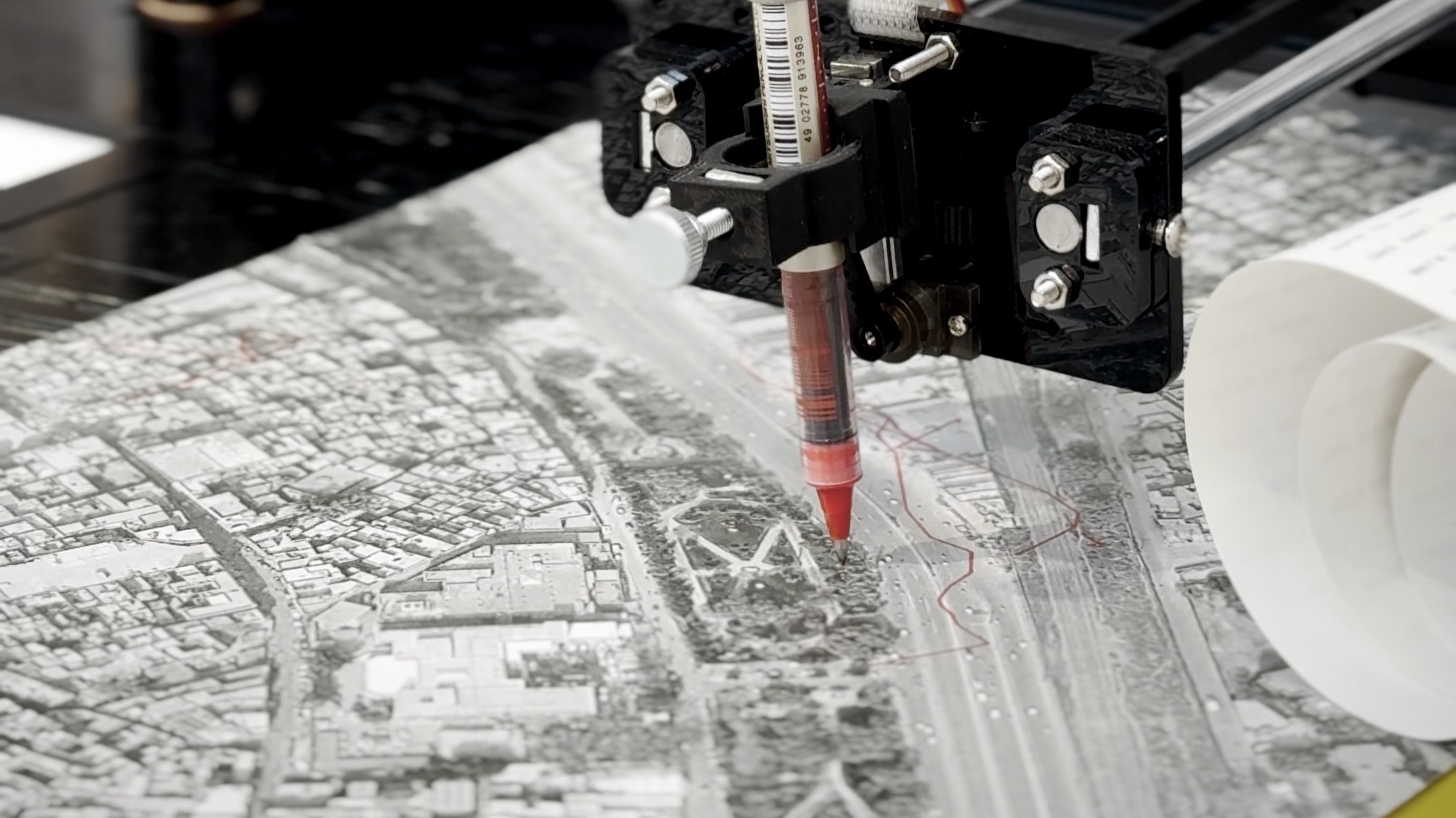
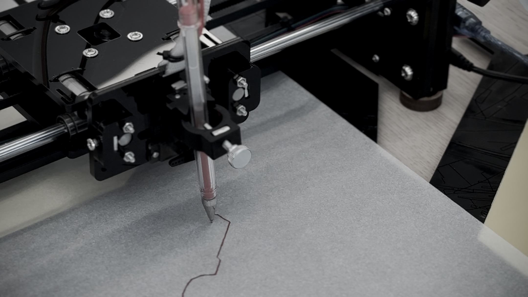
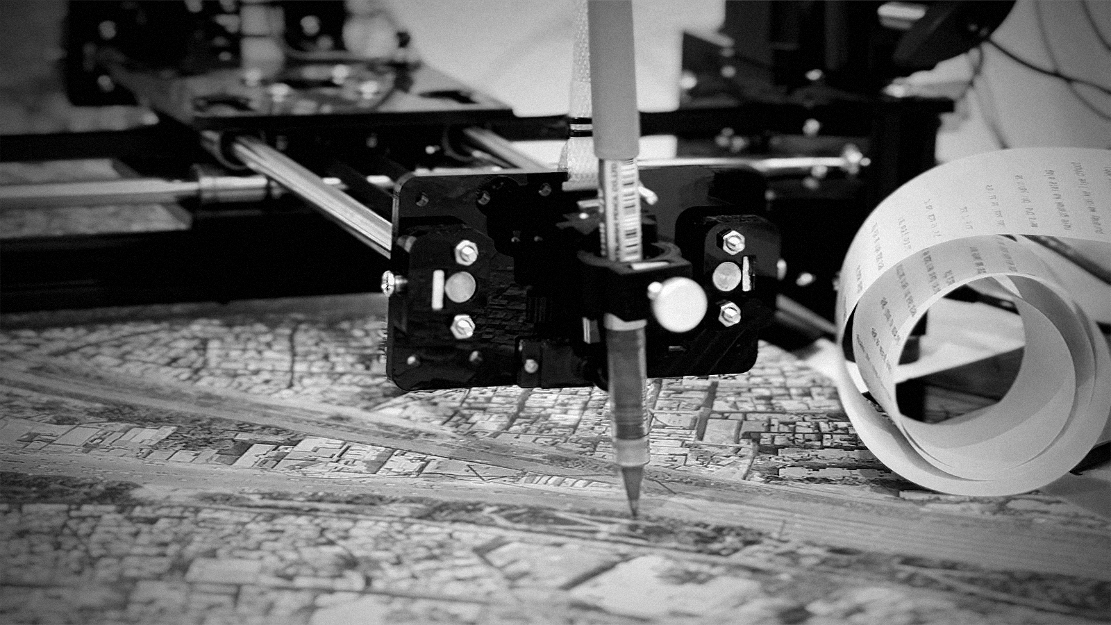
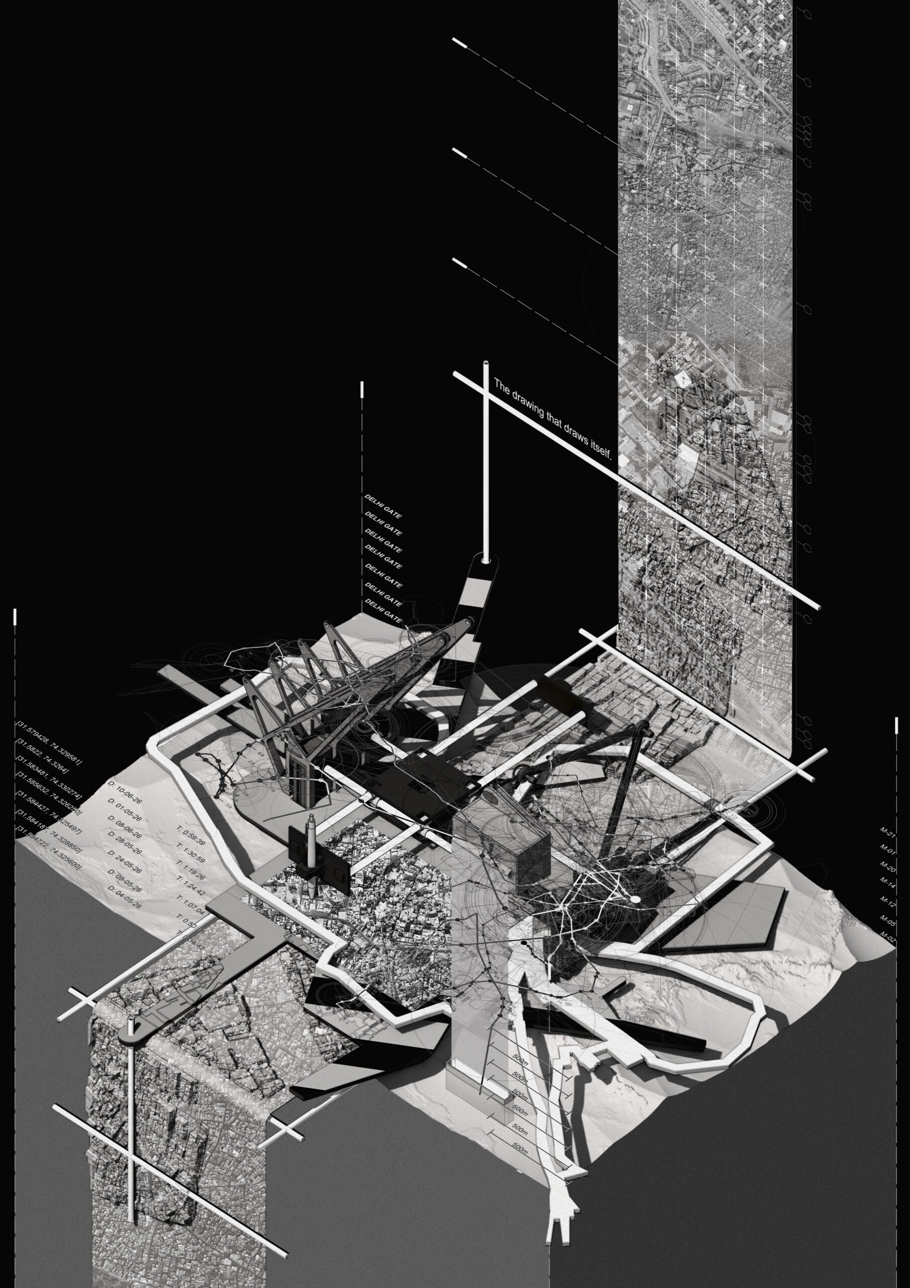
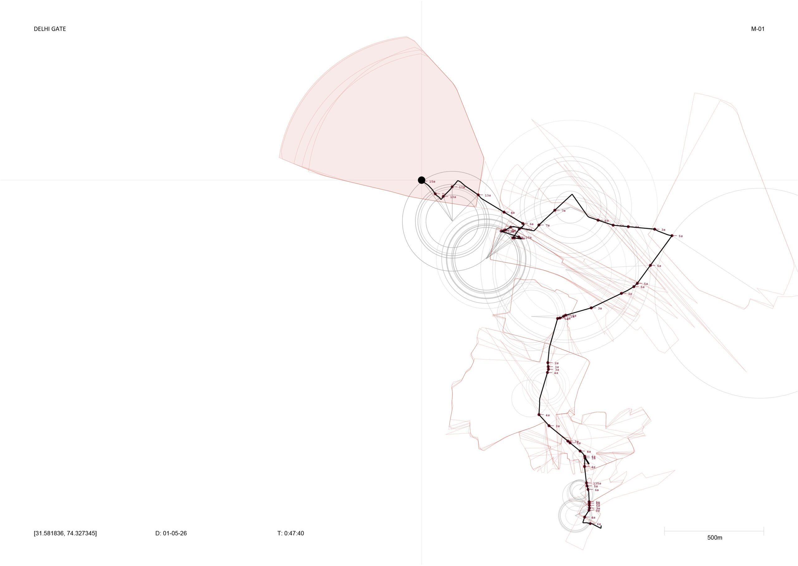
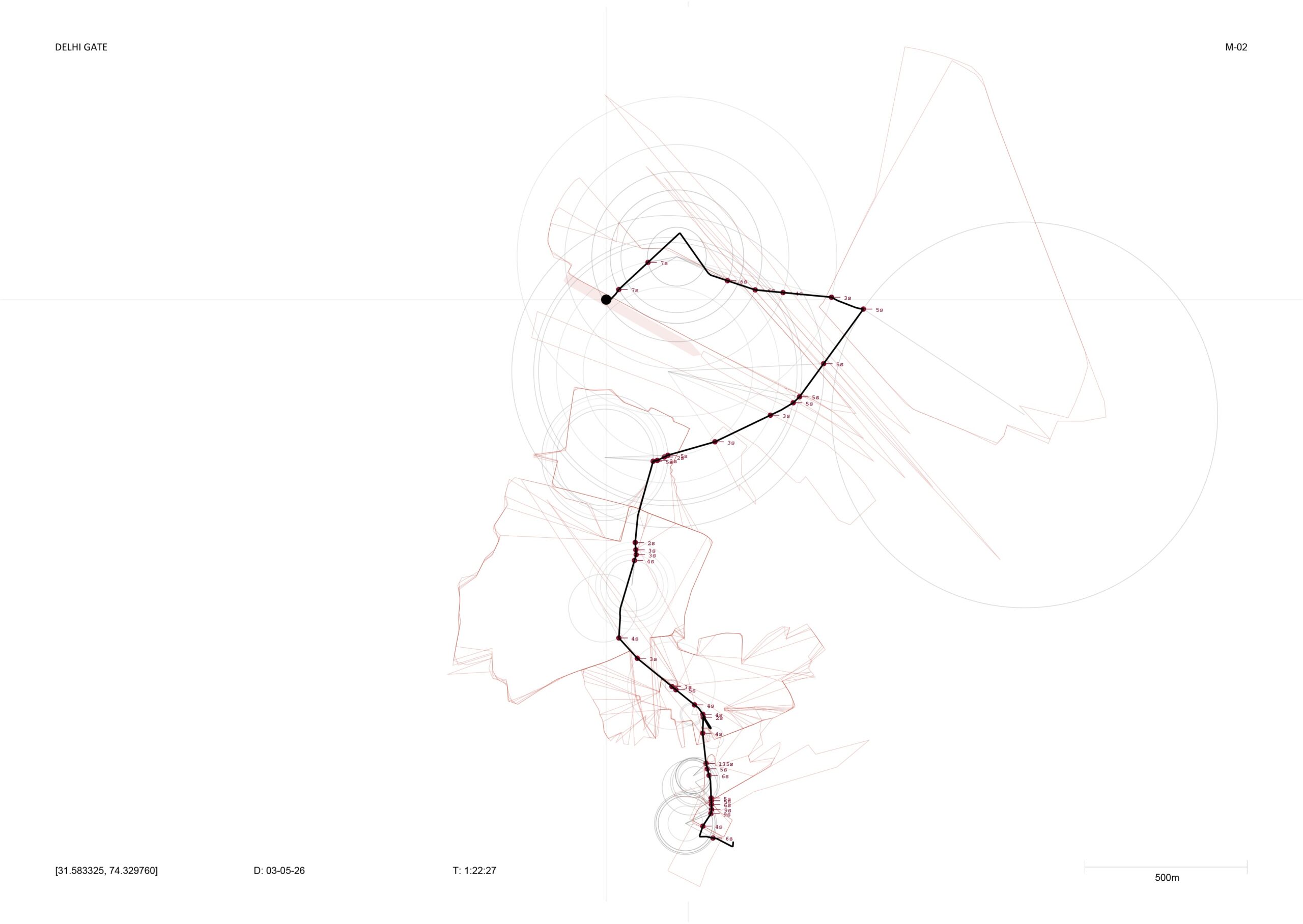
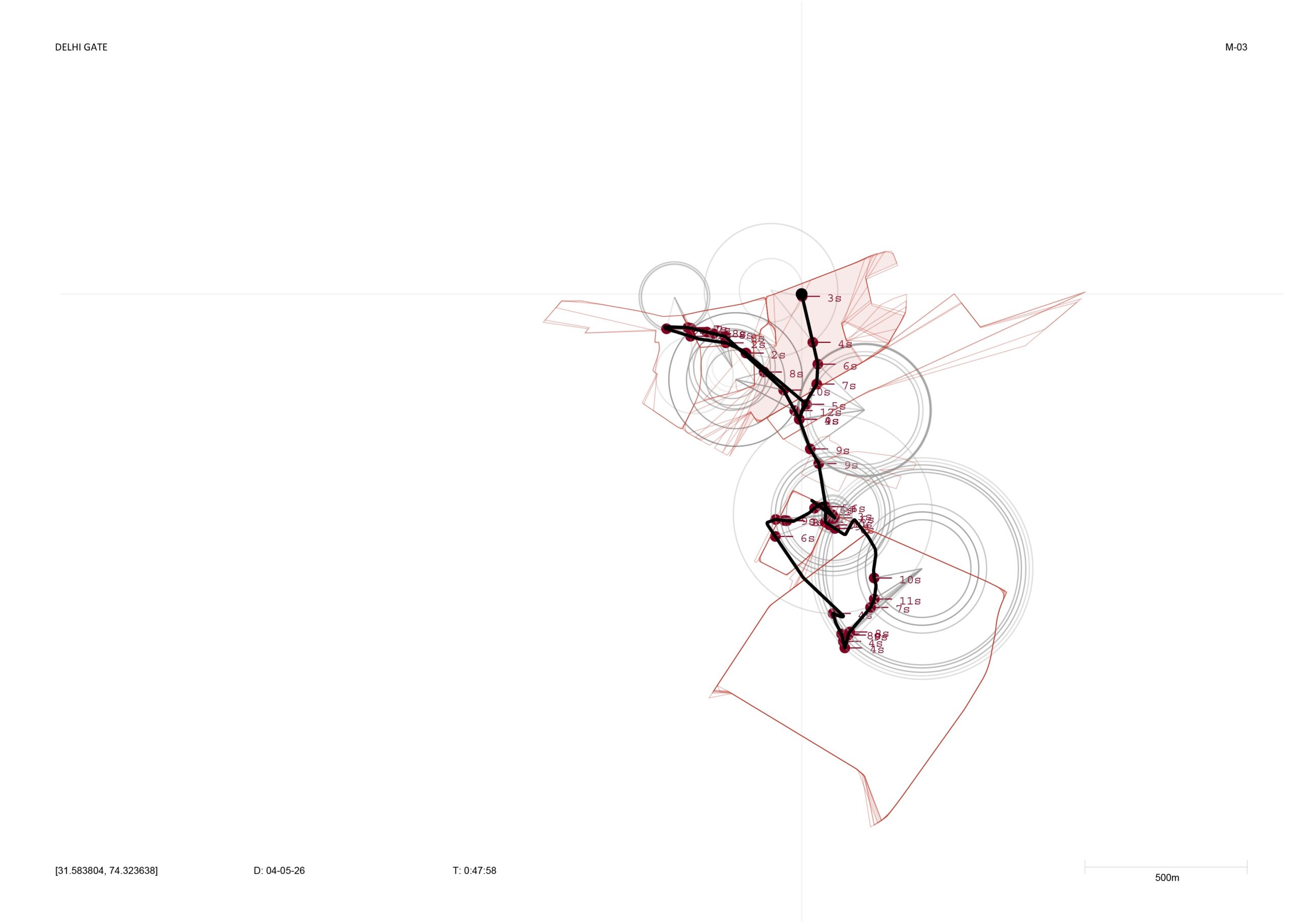
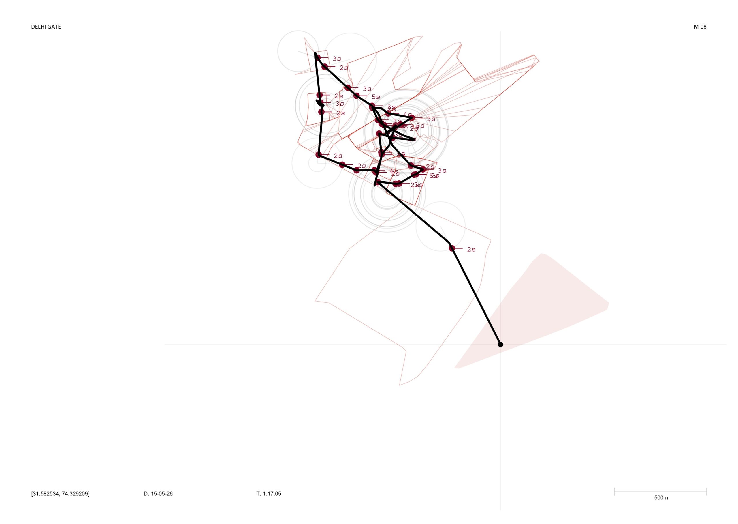
Deployed into the Real-Time City, the thesis’s computational system for reading the city as it changes turns the generative process from a static output into a live one. Starting from Delhi Gate in Androon Lahore, the walker continuously produces its own route and plots it with a pen plotter, the way a person drifting through memory might: without being told where to go, and without repeating the same journey twice. It completes the logic that the dérive first proposed. A walker that no longer needs a body to refuse the predicted route, because refusal, drift and improvisation have become the mechanisms generating its movement.
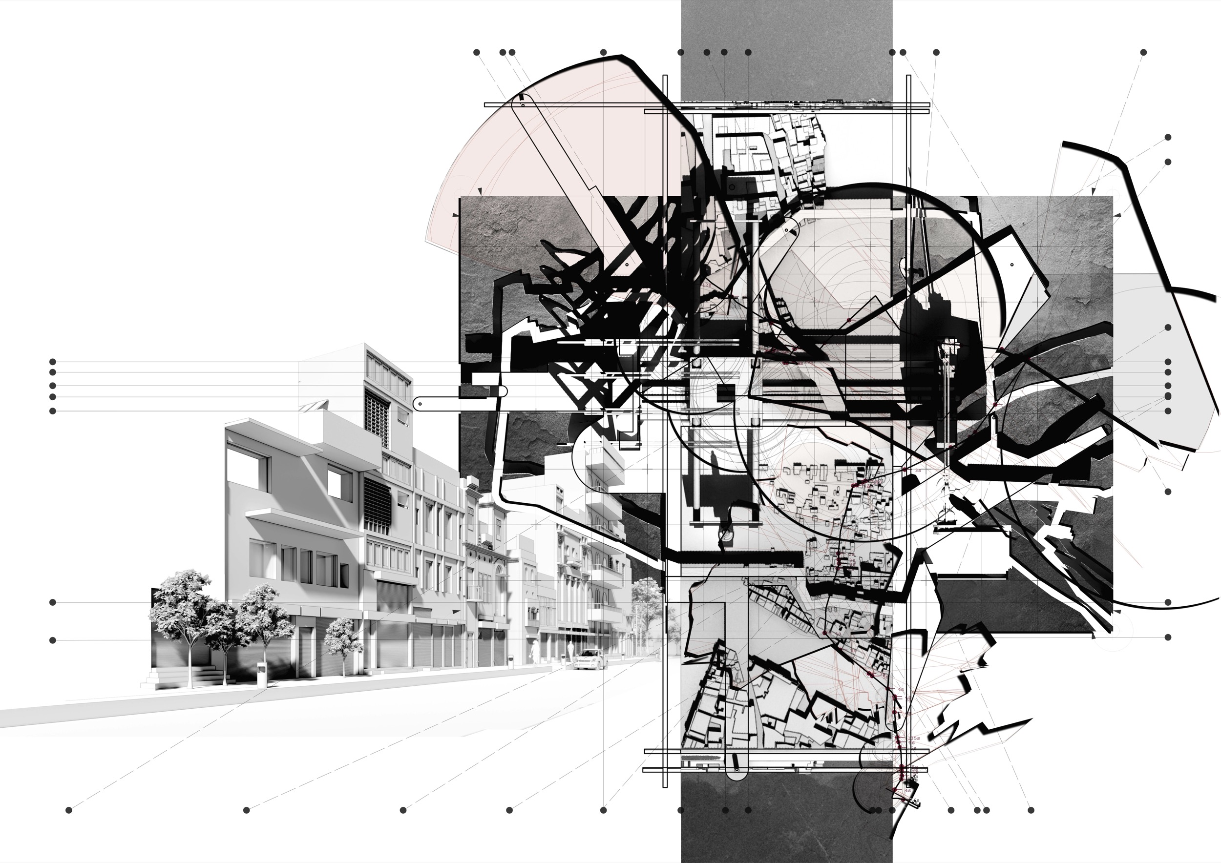
Three routes of the same city can now be read against each other: the Google Maps route, the dérive route and the Autonomous Walker route. The first is calculated, the second is lived, the third is remembered.
A MAP THAT SPEAKS
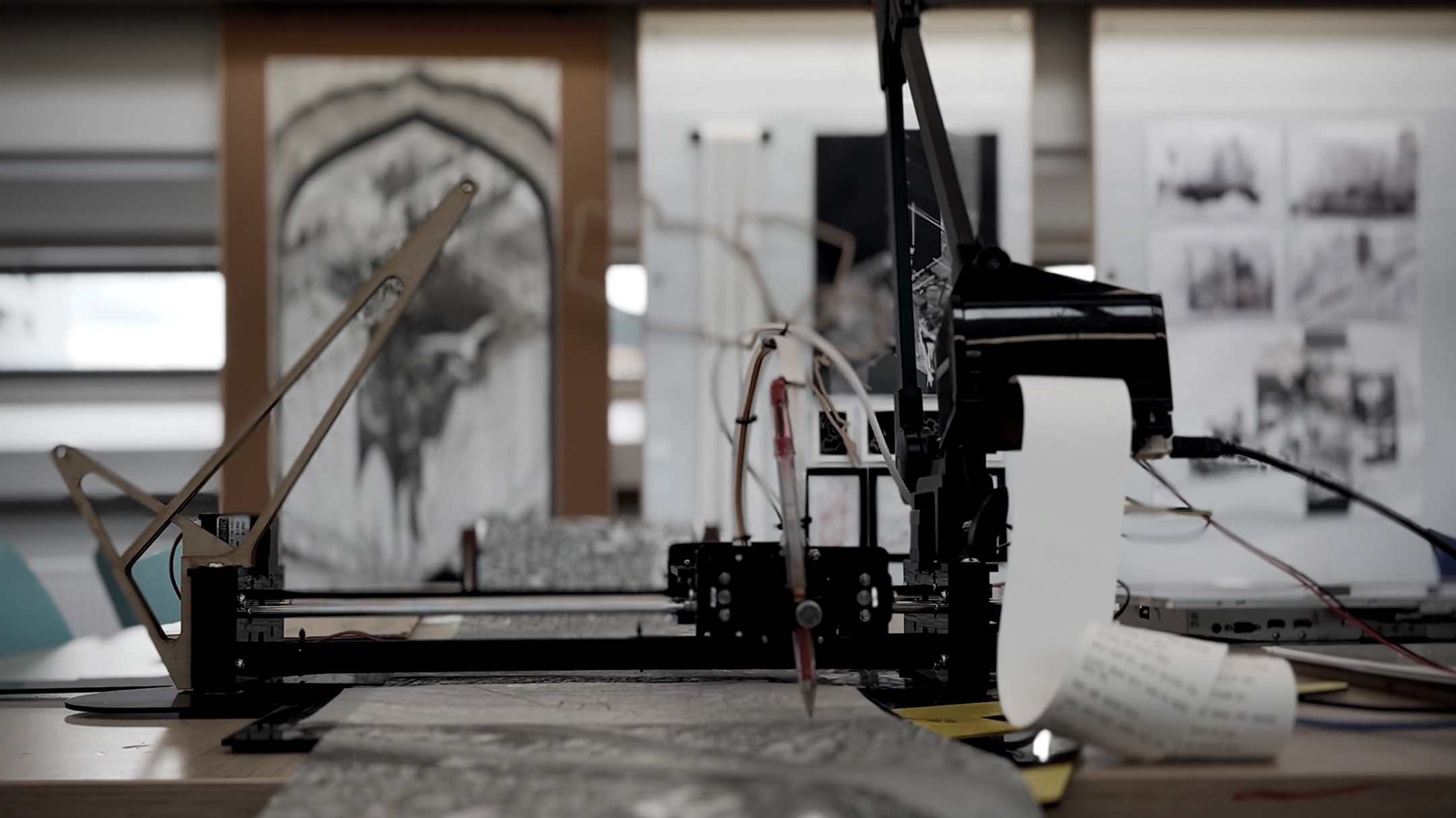
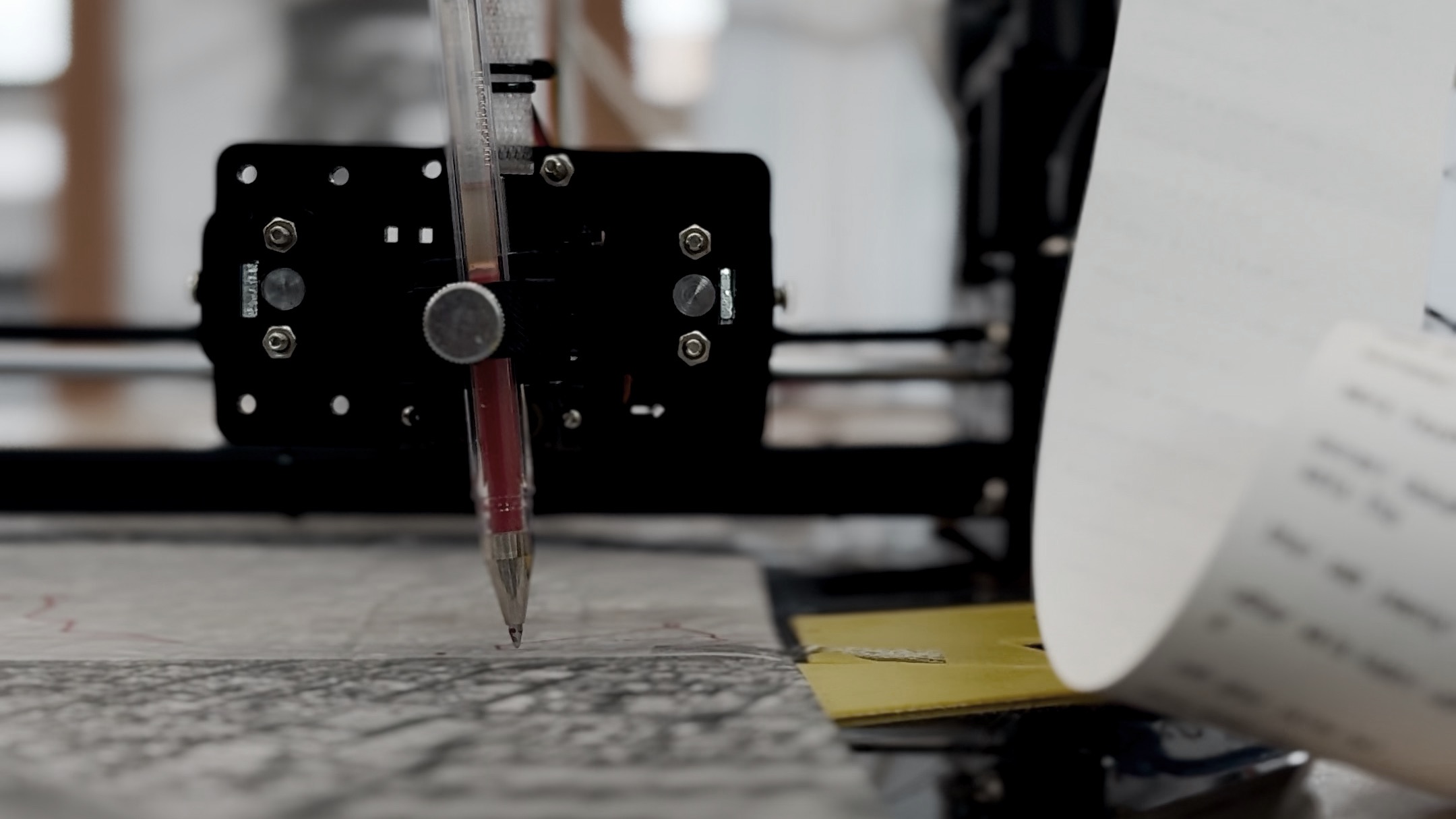
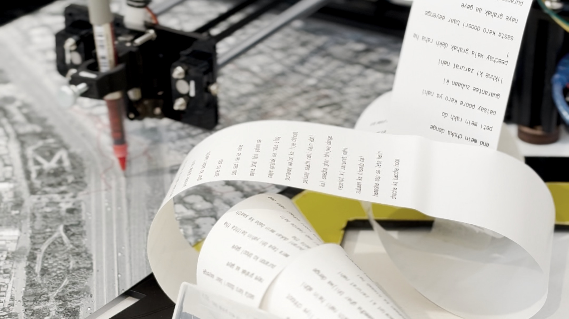
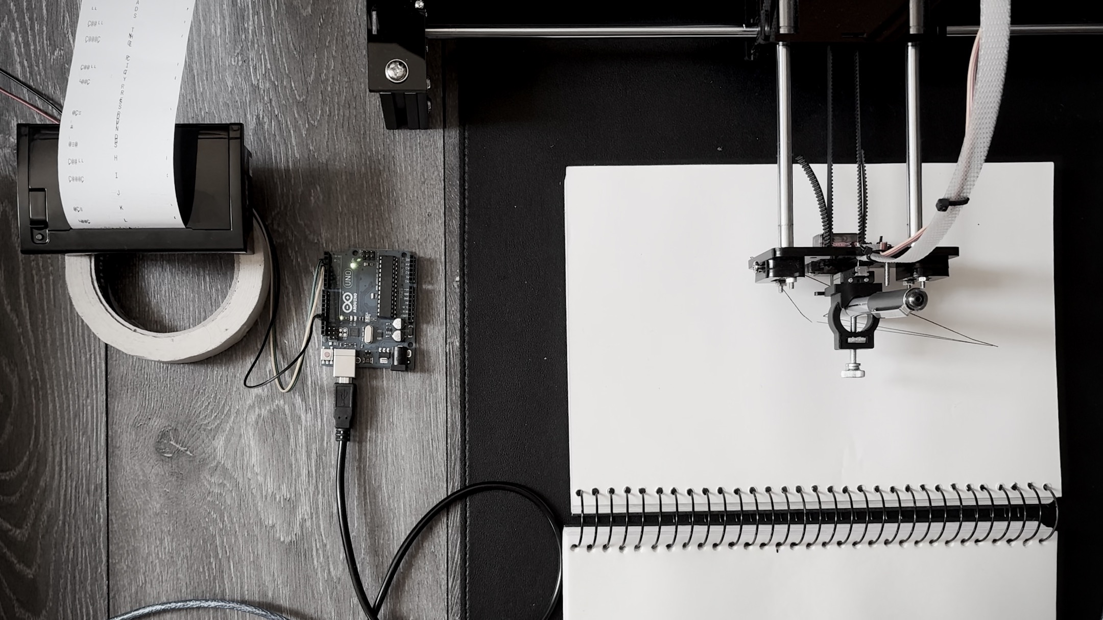
Alongside the drawing, each generated walk leaves something the plotter cannot: a sense of what the route sounds like. Every completed map is accompanied by a short line describing the ambience of the places it passes through, printed by a thermal printer working alongside the plotter. As the route is generated, its coordinates are checked against publicly available, geotagged video footage recorded at the same location, and a fragment of that audio (a market’s murmur, a call to prayer, the particular noise of a specific street) is transcribed into a short urban ambience line. Each printed route log records its origin point, timestamp and duration, and is handed to the visitor together with the drawn map.
THE PUBLIC ARCHIVE
Every map the walker produces is kept. Over time, the drawings and ambience lines accumulate into a physical archive of routes no survey ever recorded, designed to travel to the informal public spaces where mental maps are drawn in the first place: Sunday bazaars, book festivals, open-air markets. There, visitors can walk through the archive and add to it, drawing their own memory of the city onto paper and feeding it back into the system that generated everything on display. The archive does not close the project into a finished record. It keeps growing at the same informal pace as the city it represents.
Within the thesis, the Autonomous Walker is one of five components of the Real-Time City, alongside electromagnetic signals, computer vision and AI, and a peripheral device, which are not covered in this submission.
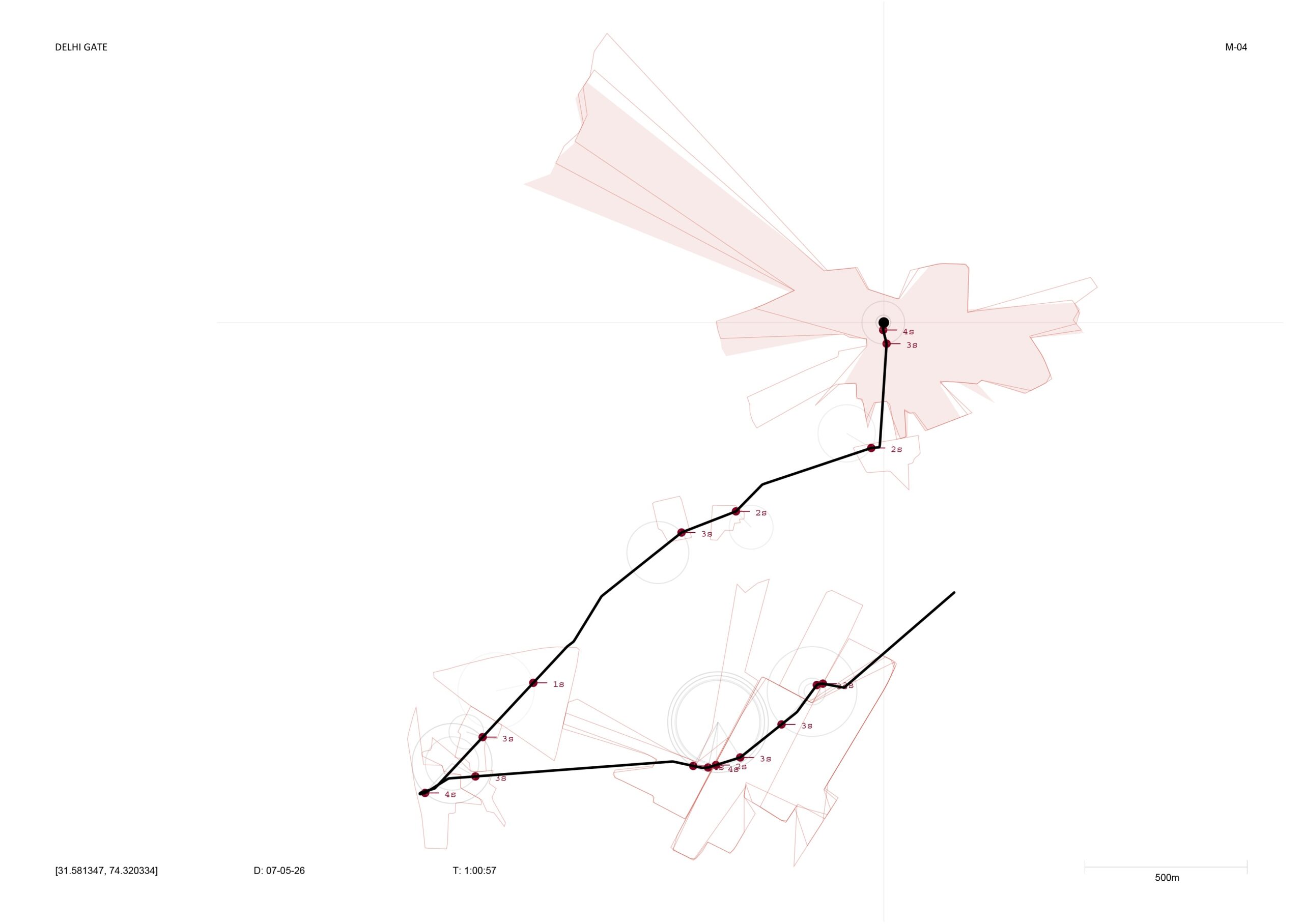
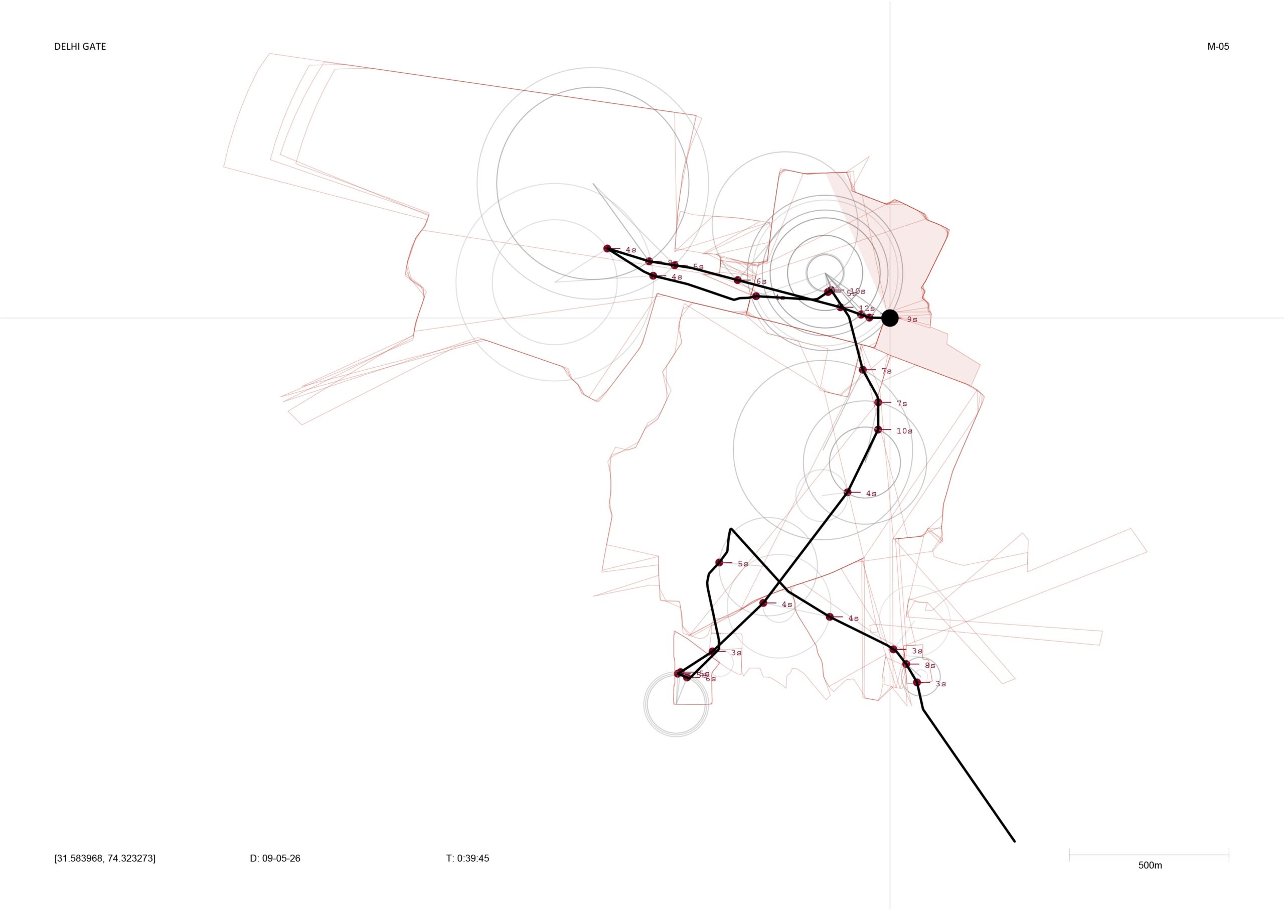
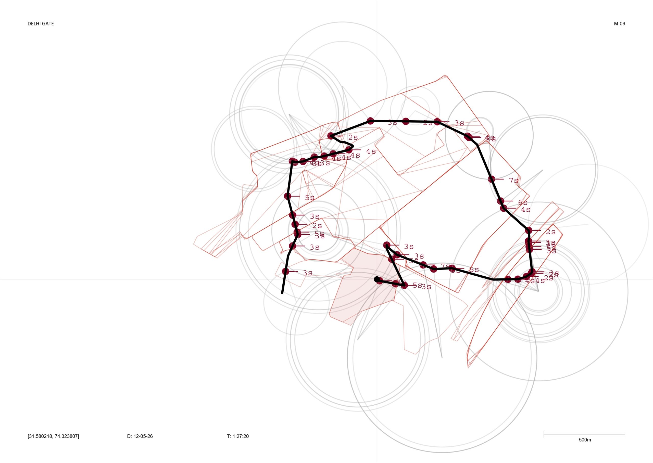
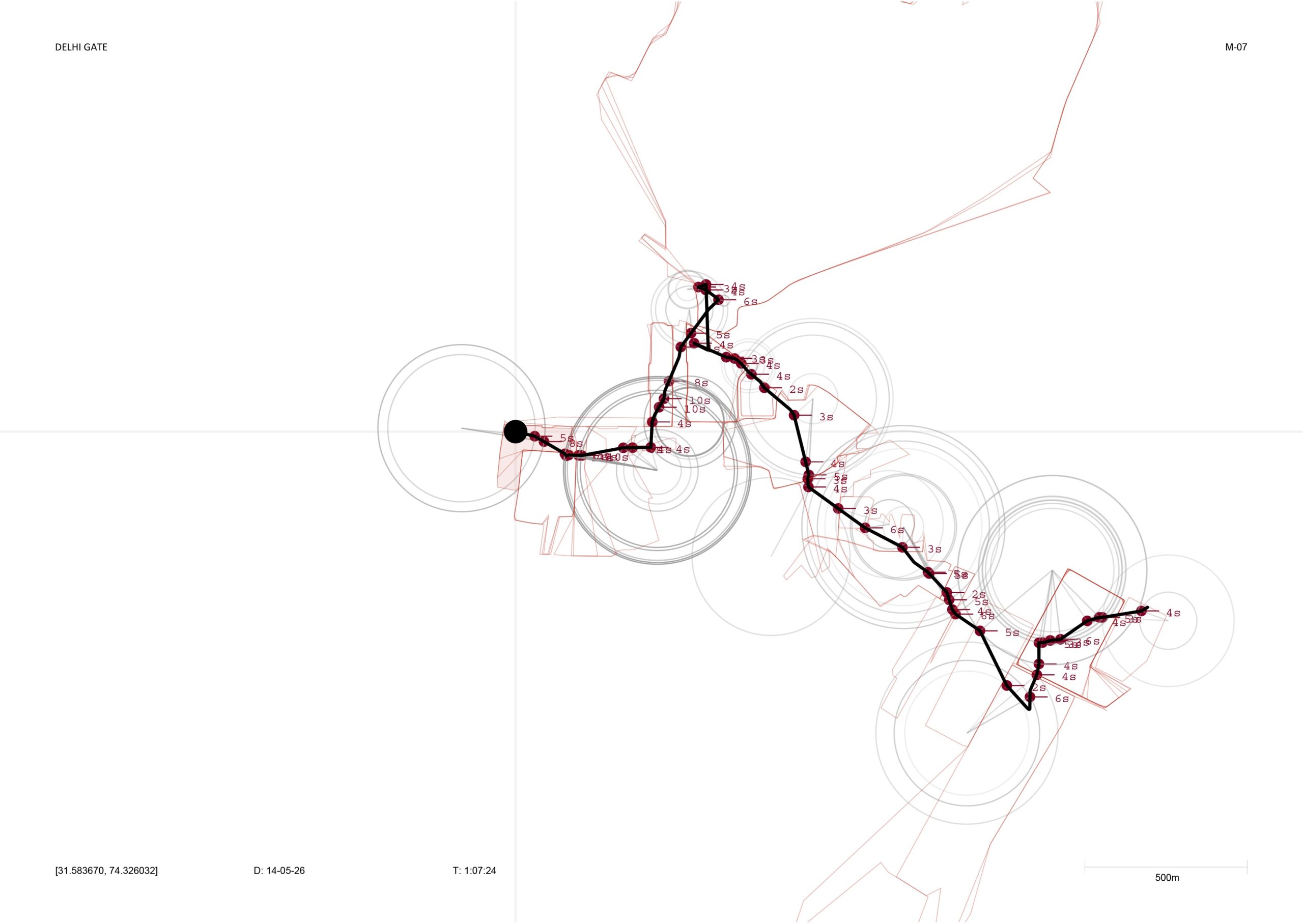
The city is not a static object, but a living system continuously shaped through encounter.
Madhi Ur Rehman
OVERVIEW
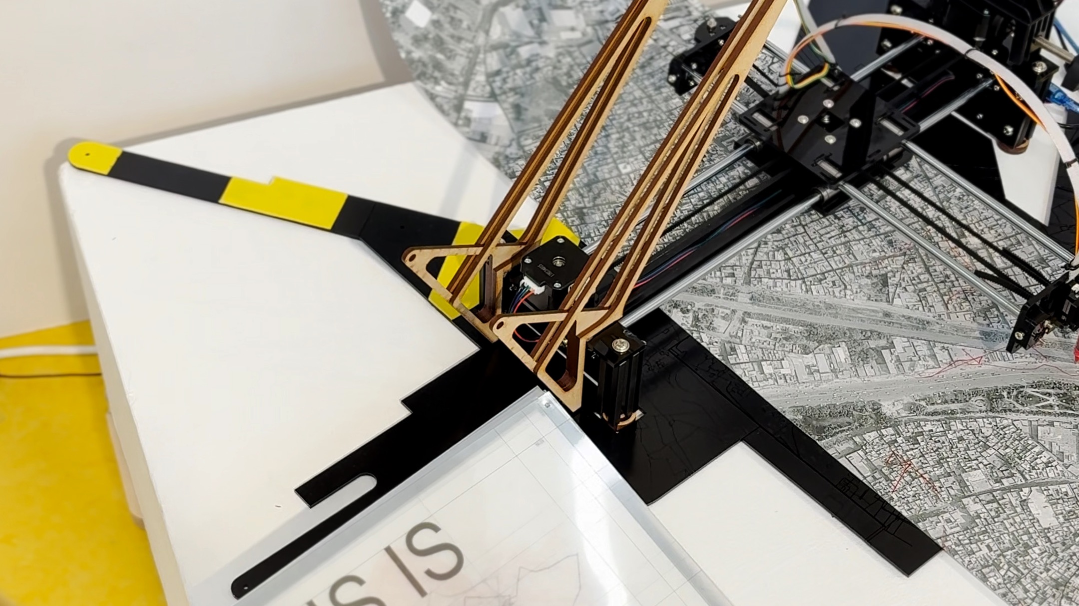
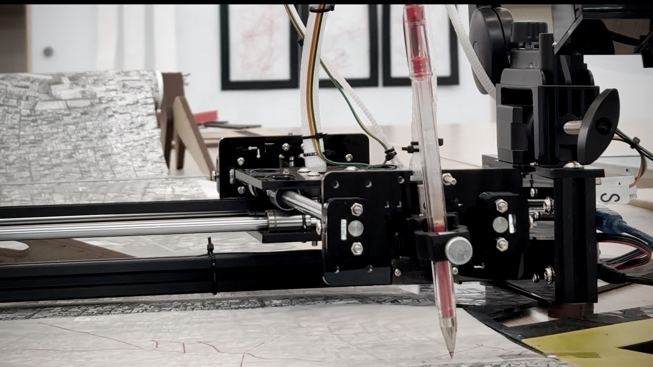
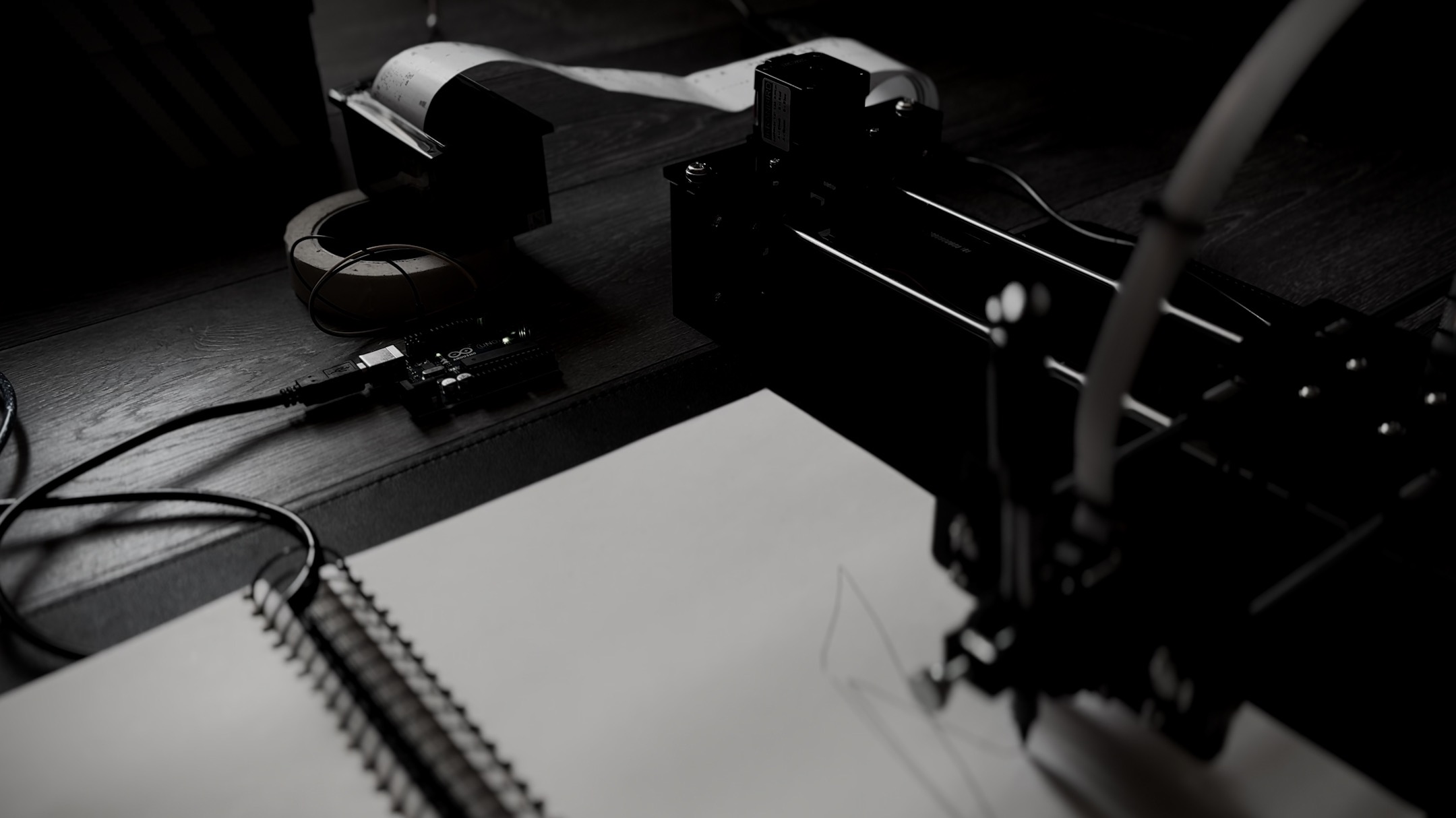
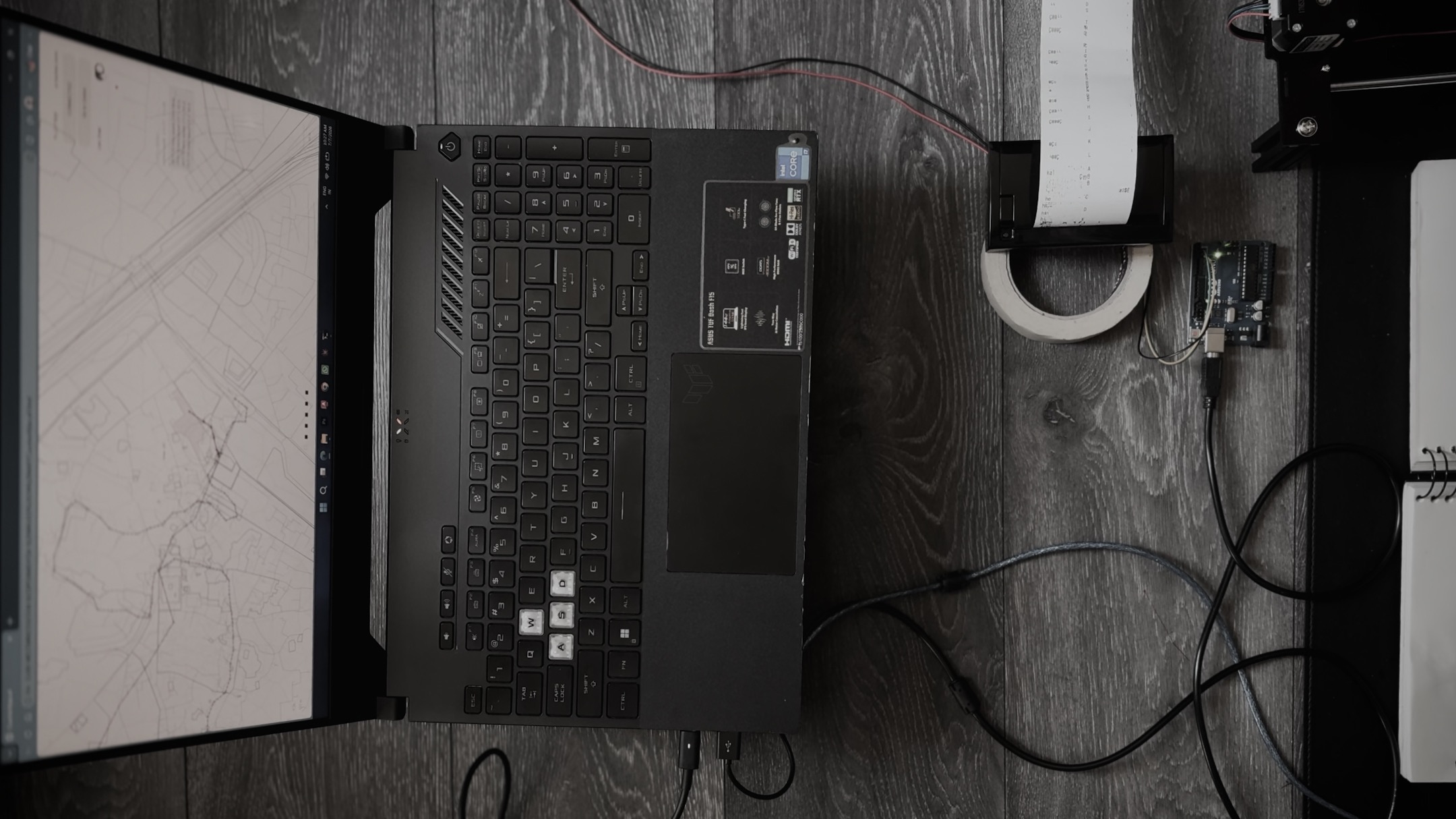
The Autonomous Walker is a live generative system. Hand-drawn mental maps of Lahore are used as training material, a walker agent moves through a map of Androon Lahore according to the patterns learned from them, and a pen plotter and a thermal printer turn each walk into a drawing and a printed text.
THE WALK (METHOD)
A website built on Google Maps generated the predicted route between home and university. The actual walk was recorded in real time in parallel, following the Situationist dérive. Every deviation from the predicted path was marked, and the two routes were overlaid.
DATASET
Hand-drawn mental maps by residents of Lahore, digitised as SVG. Spatial and temporal logics were extracted from the maps and used to train the generative model: how remembered streets bend, where junctions reappear, and which landmarks recur across maps.
SOFTWARE
p5.js and JavaScript: walker agent, map and diagram rendering. Single-file application, CounterAtlas.v4.html. Walker behaviour: human-like movement with smooth turning, body sway and micro-jitter, driven by Perlin noise, with pauses of varying length. Isovist (visibility polygon) computed at each pause and stamped onto the map. Python 3 (plotter_bridge.py): HTTP bridge on port 7777 between the browser and the plotter; GRBL flow control, a mover thread that interpolates between sampled positions, a sampler decoupled from the sender, and lift-and-park when the walker leaves the page edge. Python (printer_console.py): keyboard control and a threaded architecture for the printer. Flask, ngrok and the Overland iOS app for live GPS streaming into the plotter system
HARDWARE
IKRANBIRD AX4 pen plotter, GRBL-compatible, 280 x 180 mm drawing area in landscape, servo pen lift. CSN-A2L thermal printer, driven through an Arduino Uno. iPhone for GPS recording
THE PRINTED LINE
Each walk is paired with a short ambience line printed alongside the drawing. In the current prototype, the lines are drawn from a curated corpus of about 1,078 Roman Urdu fragments describing the soundscape of Androon Lahore. The designed pipeline replaces them with transcriptions of audio from publicly available geotagged video recorded at the walker’s coordinates.
SITE
Origin point: Delhi Gate, Androon Lahore (31.5822 N, 74.3264 E).
Madhi Ur Rehman | Instagram | University of Westminster, MA Architecture (Digital Media)
CREDITS
Concept, research, design and development: Madhi Ur Rehman
Thesis advisor: Filip Visnjic
Academic guidance: Professor Nasser Golzari, Professor Yara Sharif
University of Westminster, School of Architecture + Cities, MA Architecture 2025-26
Field research support in Lahore: Rahij Muhammad
With thanks to the residents of Lahore who drew their city from memory